Published on: May 5, 2023
Written by Shaown Khan / Fact-checked by Kader Khan
Weather plays a significant role in our daily lives, affecting everything from our daily commute to agriculture and the economy. Accurate weather forecasts can help us prepare for hazardous conditions, manage resources effectively, and plan our outdoor activities. In this blog post, we will explore the diverse range of weather instruments and equipment that make these predictions possible.
The quest to understand and predict the weather has been a constant human endeavor. Early civilizations relied on celestial observations, patterns in nature, and folklore to predict weather conditions. The development of scientific instruments in the 17th and 18th centuries, such as the thermometer and barometer, laid the foundation for modern meteorology.
Meteorological Stations
Overview of a meteorological station
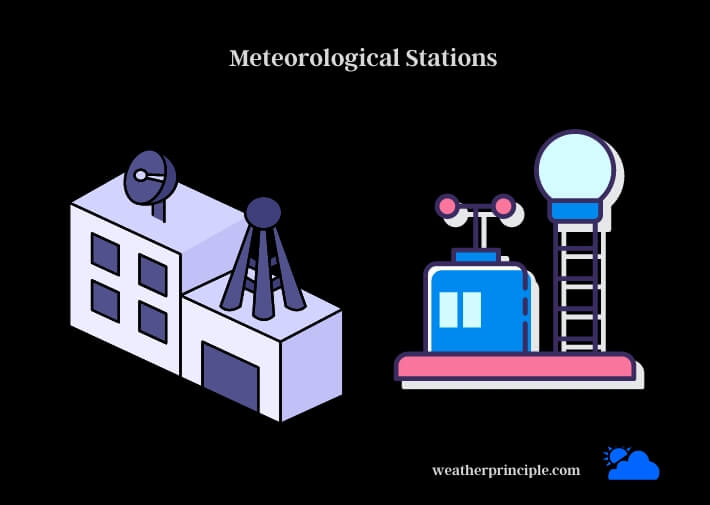
A meteorological station is a facility designed to collect data on various atmospheric parameters such as temperature, humidity, wind speed, and precipitation. These stations can be land-based, marine-based, or upper-air stations that utilize weather balloons to collect data at different altitudes.
Types of meteorological stations (land-based, marine, and upper-air)
- Land-based stations are situated on land and collect data using instruments mounted on towers or tripods. They provide essential data for weather forecasts and climate studies.
- Marine-based stations are either located on ships, buoys, or offshore platforms. They gather vital data on oceanic weather conditions and support marine navigation and fisheries.
- Upper-air stations use weather balloons to measure conditions in the troposphere and lower stratosphere. These measurements help improve the accuracy of weather forecasts and enhance our understanding of the atmosphere.
Thermometers
Introduction to thermometers
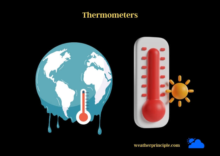
Thermometers are essential weather instruments that measure air temperature. Accurate temperature readings are crucial for determining the likelihood of frost, heatwaves, and other weather phenomena.
Types of thermometers (mercury, alcohol, and digital)
- Mercury thermometers use the expansion and contraction of mercury to measure temperature. They have been mostly phased out due to environmental concerns.
- Alcohol thermometers use a colored alcohol, such as ethanol, in place of mercury. They are less accurate than mercury thermometers but are safer and more environmentally friendly.
- Digital thermometers employ electronic sensors to measure temperature, offering quick readings and high accuracy.
Proper placement and maintenance of thermometers
To obtain accurate temperature readings, thermometers should be placed in a shaded, well-ventilated area, away from direct sunlight, heat sources, and reflective surfaces. Regular cleaning and calibration are necessary to ensure the accuracy of readings.
Barometers
Introduction to barometers
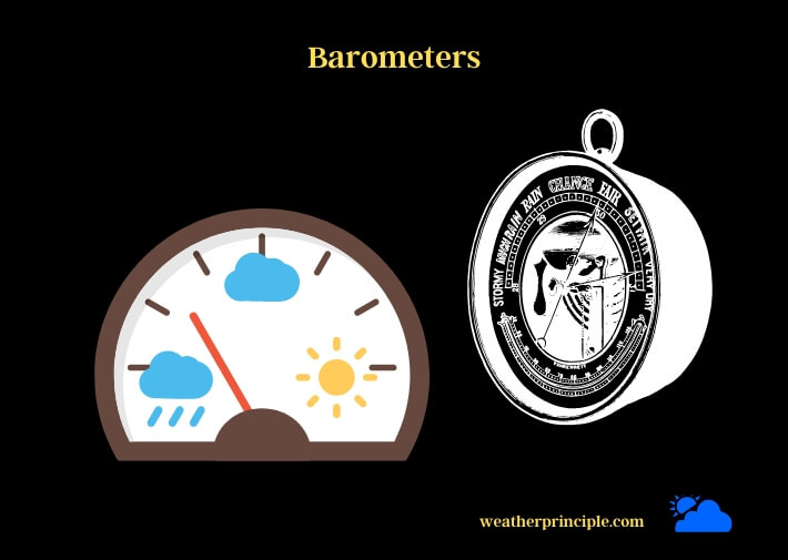
Barometers measure atmospheric pressure, which is the force exerted by the weight of the atmosphere. Pressure changes can indicate shifting weather patterns, making barometers a valuable forecasting tool.
Types of barometers (mercury, aneroid, and electronic)
- Mercury barometers consist of a glass tube filled with mercury, with one end submerged in a reservoir of mercury. The height of the mercury column corresponds to the atmospheric pressure.
- Aneroid barometers use a sealed, flexible metal chamber that expands or contracts with changes in pressure. A mechanical linkage translates these movements into pressure readings.
- Electronic barometers employ sensors that convert pressure changes into electrical signals, which are then displayed as pressure readings.
Atmospheric pressure and its role in weather forecasting
High pressure is usually associated with stable and dry weather, while low pressure typically brings wet and stormy conditions. By tracking changes in atmospheric pressure, meteorologists can predict the arrival of weather systems and forecast their intensity.
Hygrometers
Introduction to hygrometers
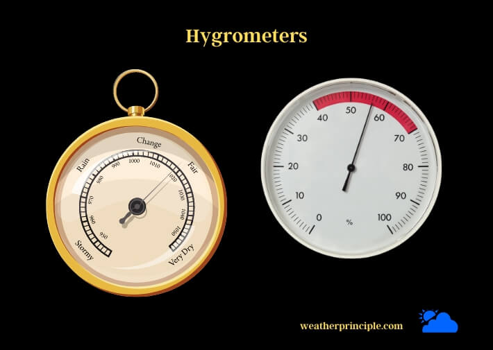
Hygrometers measure humidity, the amount of water vapor in the air. Humidity affects human comfort, plant growth, and the likelihood of fog and precipitation.
Types of hygrometers (hair, psychrometer, and electronic)
- Hair hygrometers use a strand of human or animal hair, which changes length with variations in humidity. The change in length is then translated into a humidity reading.
- Psychrometers consist of two thermometers, one with a wet bulb and one with a dry bulb. The difference in readings between the two thermometers is used to calculate relative humidity.
- Electronic hygrometers use sensors that detect changes in humidity by measuring electrical resistance or capacitance.
The significance of humidity in weather forecasting
High humidity can increase the likelihood of precipitation and the formation of fog. It can also lead to higher heat indexes, making the air feel hotter than it actually is. Monitoring humidity levels helps meteorologists predict local weather conditions and potential hazards.
Anemometers
Introduction to anemometers
Anemometers measure wind speed and direction, which are critical factors in weather forecasting and essential data for aviation, marine transportation, and wind energy production.
Types of anemometers (cup, vane, hot-wire, and ultrasonic)
- Cup anemometers use rotating cups to measure wind speed, with the rotation rate proportional to the wind speed.
- Vane anemometers use a wind vane to determine wind direction and a propeller to measure wind speed.
- Hot-wire anemometers measure wind speed based on the cooling effect of air on a heated wire.
- Ultrasonic anemometers utilize sound waves to measure wind speed and direction without moving parts, making them more durable and less prone to mechanical failure.
Wind speed, direction, and their influence on weather
Wind speed and direction affect temperature, humidity, and the movement of weather systems. By analyzing wind patterns, meteorologists can predict the development and movement of high and low-pressure systems, which in turn influence local weather conditions.
Rain Gauges
Introduction to rain gauges
Rain gauges measure the amount of precipitation, which is vital for agriculture, water resource management, and flood prediction.
Types of rain gauges (standard, tipping bucket, and optical)
- Standard rain gauges are simple containers that collect rain, with the accumulated precipitation measured manually.
- Tipping bucket rain gauges use a see-saw mechanism to automatically record rainfall amounts, providing a time series of precipitation data.
- Optical rain gauges employ a laser or infrared beam to detect raindrop size and frequency, allowing for the calculation of precipitation rates.
The role of precipitation data in weather prediction
Precipitation data is crucial for predicting the likelihood of floods, droughts, and other weather-related hazards. Accurate measurements of rainfall can also improve the accuracy of weather forecasting models and help refine climate predictions.
Weather Balloons
Introduction to weather balloons
Weather balloons are large, helium-filled balloons that carry instruments called radiosondes into the upper atmosphere. They provide valuable data on temperature, pressure, humidity, and wind at various altitudes.
The role of radiosondes in upper-air data collection
Radiosondes are small, lightweight instrument packages attached to weather balloons. As the balloon ascends, the radiosonde transmits real-time atmospheric data back to a ground-based receiving station. This information helps meteorologists create detailed vertical profiles of the atmosphere and improves the accuracy of weather forecasts.
Insights gained from weather balloon data
Data from weather balloons is essential for understanding atmospheric dynamics, validating satellite observations, and initializing weather forecasting models. Regular weather balloon launches provide a consistent stream of high-quality data that helps meteorologists track the development and movement of weather systems.
Remote Sensing Equipment
Overview of remote sensing in meteorology
Remote sensing techniques allow meteorologists to observe the atmosphere and Earth’s surface without direct contact. These methods use advanced technology, such as radar and satellites, to collect data on weather systems and monitor the environment.
Weather radar (Doppler, dual-polarization, and phased array)
- Doppler radar detects precipitation and measures its intensity, as well as wind velocity within storm systems. This information helps meteorologists track severe weather events, such as tornadoes and thunderstorms.
- Dual-polarization radar emits both horizontal and vertical pulses, providing a more detailed view of precipitation structure and improving rainfall estimation and hail detection.
- Phased array radar uses electronically steered beams to rapidly scan the atmosphere, significantly reducing data collection time and enhancing severe weather detection capabilities.
Weather satellites (geostationary and polar-orbiting)
- Geostationary satellites orbit the Earth at an altitude that matches the planet’s rotation, remaining in a fixed position relative to the ground. They provide continuous, high-resolution imagery of the atmosphere and are particularly valuable for monitoring weather systems in real-time.
- Polar-orbiting satellites circle the Earth in a north-south direction, passing close to the poles. They offer global coverage and collect detailed data on atmospheric and surface conditions, which is crucial for long-range weather forecasts and climate studies.
Ground-Based Weather Monitoring Networks
Introduction to weather monitoring networks
Weather monitoring networks are collections of meteorological stations that work together to provide comprehensive, high-quality data on atmospheric conditions. These networks play a critical role in weather forecasting and climate research.
Examples of prominent networks (NWS Cooperative Observer Program, Community Collaborative Rain, Hail, and Snow Network)
- NWS Cooperative Observer Program (COOP) is a network of volunteer-operated weather stations across the United States that collect daily temperature and precipitation data. This information is vital for climate monitoring and the verification of weather forecasts.
- Community Collaborative Rain, Hail, and Snow Network (CoCoRaHS) is a grassroots volunteer network that measures and maps precipitation data. This data helps meteorologists better understand local-scale precipitation patterns and contributes to flood and drought monitoring efforts.
Weather Forecasting Models
Introduction to weather forecasting models
Weather forecasting models use mathematical equations to simulate the behavior of the atmosphere. By inputting observed data and making assumptions about future conditions, these models generate predictions of temperature, humidity, wind, and precipitation.
Numerical weather prediction models (global, regional, and ensemble)
- Global models cover the entire Earth and provide coarse-resolution forecasts for extended periods, typically up to 10 days in advance.
- Regional models focus on specific geographic areas and offer higher-resolution forecasts, usually for shorter timeframes.
- Ensemble models combine multiple forecasts with slightly different initial conditions to generate a range of possible outcomes, which helps account for uncertainties in weather predictions.
Machine learning and artificial intelligence in weather forecasting
Machine learning and artificial intelligence (AI) techniques are increasingly being applied to weather forecasting. These methods can help identify complex patterns in large datasets, improve the accuracy of forecasts, and reduce the reliance on human intervention. AI-based systems can also learn from past forecasting errors and adapt to new data, making them valuable tools for refining weather prediction models.
Advanced Weather Instruments and Emerging Technologies
Lidar and microwave radiometers
Lidar (Light Detection and Ranging) uses laser pulses to measure the distance to objects and can be employed to study atmospheric properties, such as aerosol concentrations and cloud structure. Microwave radiometers detect natural microwave radiation emitted by atmospheric gases, allowing for the remote measurement of temperature, humidity, and precipitation.
Unmanned aerial vehicles (UAVs) and drones
UAVs and drones offer new ways to collect weather data, particularly in hard-to-reach areas and during extreme weather events. Equipped with various sensors, these vehicles can gather high-resolution data on temperature, humidity, wind, and other atmospheric parameters, improving the quality of weather forecasts.
Internet of Things (IoT) and smart sensors
IoT and smart sensors enable the real-time monitoring of weather conditions across large areas. These connected devices can collect and transmit data on temperature, humidity, wind speed, and precipitation, enhancing the accuracy of local weather forecasts and supporting decision-making in various sectors.
Personal Weather Stations
Introduction to personal weather stations
Personal weather stations are small, user-friendly devices that allow individuals and organizations to monitor local weather conditions. These systems typically include sensors for temperature, humidity, wind speed, and precipitation, as well as software for data analysis and visualization.
Components and features of popular personal weather station models
Popular personal weather station models usually include a suite of sensors, a data logger, and a display or software for viewing the data. Some models also offer internet connectivity for remote monitoring and data sharing with online weather communities.
Tips for setting up and maintaining a personal weather station
When setting up a personal weather station, it’s essential to choose a location with good exposure to wind and precipitation, away from obstructions and heat sources. Regular maintenance, such as cleaning and calibration, is necessary to ensure the accuracy and longevity of the equipment.
Summary
Key takeaways from the article
Weather instruments and equipment play a vital role in understanding and predicting atmospheric conditions. From traditional tools like thermometers and barometers to advanced technologies like remote sensing and AI, these devices help us prepare for and respond to the challenges posed by our ever-changing environment.
The future of weather instruments and equipment
As technology advances, we can expect to see further improvements in weather instruments and equipment. New sensors, communication methods, and data analysis techniques will likely lead to more accurate and timely weather forecasts, benefiting society in numerous ways.
Frequently Asked Questions
What weather instruments are essential for a basic weather station?
A basic weather station should include a thermometer, barometer, hygrometer, anemometer, and rain gauge to measure temperature, atmospheric pressure, humidity, wind speed, and precipitation, respectively.
How can I get involved in citizen weather monitoring networks?
To participate in citizen weather monitoring networks, you can purchase a personal weather station, install it according to the network’s guidelines, and share your data with the community. Examples of such networks include the NWS Cooperative Observer Program and the Community Collaborative Rain, Hail, and Snow Network.
What are the limitations of weather instruments and forecasting models?
Weather instruments can be subject to measurement errors, improper installation, and maintenance issues, which can affect their accuracy. Forecasting models, on the other hand, are limited by the quality of input data, the complexity of atmospheric processes, and uncertainties in future conditions. Despite these limitations, advances in technology and data analysis techniques continue to improve the accuracy and reliability of weather forecasts.
How can I become a meteorologist or pursue a career in weather forecasting?
To become a meteorologist, you typically need to obtain a bachelor’s degree in meteorology, atmospheric science, or a related field. Some positions may require a master’s or doctoral degree, particularly in research and academia. Additionally, internships and practical experience can help you gain valuable skills and enhance your job prospects in the field of weather forecasting.
Can weather instruments be used to study climate change?
Yes, weather instruments and equipment are essential for studying climate change. Long-term records of temperature, precipitation, humidity, and other atmospheric parameters provide valuable insights into climate trends and variations. Additionally, remote sensing data from satellites and advanced sensors, such as lidar and microwave radiometers, can help researchers monitor and analyze the impacts of climate change on the Earth’s atmosphere and surface.


